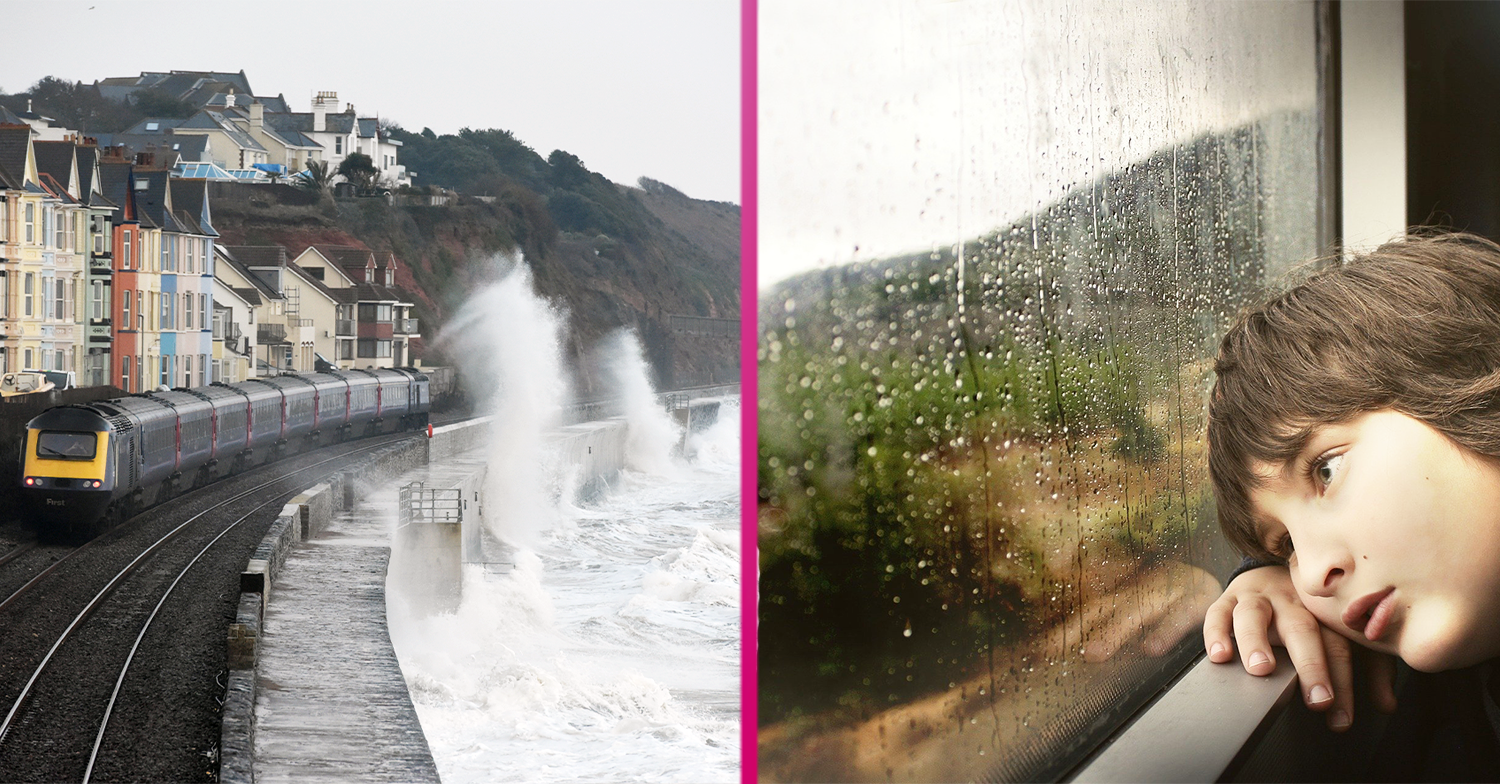
The Met Office has warned Britain’s weather is about to drastically change for the worst.
In fact, things are going to get so bad that a “70mph cyclone” is predicted to hit our shores later this week.
It is one of five storms that are forecast to batter Blighty this autumn.
It’s important to us that you never miss our articles when searching for stories! We have all the latest TV & Celebrity news to share with our community of loyal readers.
Click here and tick Entertainmentdaily.com
Yes, it appears summer is most definitely over when it comes to the weather, folks!

When will the weather take a turn for the worse?
From tomorrow (September 30), the country will be hit by strong winds as a 900-mile wide “Atlantic torment” makes its way to our shores, The Sun reports.
It’s set to last from Thursday till Sunday, with predictions that the weather front will soon become our first officially named storm of the season.
Read more: Supermarkets start imposing limits as shoppers panic buy
If the weather front is upgraded to an amber warning, Met Office forecasters are predicting the storm – which will be called Storm Aiden – will bring with it gales and washouts.
It does need watching. It has the potential to bring some very wet and windy weather for the latter part of this week.
The north is set to be worst hit, but no part of the country will remain untouched by the weather front, it appears.
Met Office forecaster Marco Petagna said: “The Atlantic jet stream will really power up and could generate very wet and windy weather late in the week.”

‘Big changes’ in store
Chatting on Twitter, another added that “big changes” were in store for the second half of this week.
He said: “Low pressure is on the way, this one is spiralling in so we’re going to see a spell of wet and windy weather sweep across the country on Wednesday followed by heavy showers on Thursday.”
And, he warned, we “may not be done there”.
There’s a big change on the way with wet and windy weather later this week and over the weekend 🍂☔️
No warnings issued yet, so stay #WeatherAware and keep up to date with the latest weather forecast 👉 https://t.co/nh9OAEwuhp pic.twitter.com/Ux5sVmcjDo
— Met Office (@metoffice) September 28, 2020
“Out in the Atlantic later this week, the area of low pressure looks to be intensifying.
“It does need watching. It has the potential to bring some very wet and windy weather for the latter part of this week.
Elsewhere, the Met Office predicted that the wet weather is likely to stick around.
“The period until October 9 will be generally windy, with a risk of gales, potentially severe, particularly in the north.
Read more: Kimberley Walsh on post-lockdown ‘difficulties’ with her sons
“The heaviest and most prolonged spells of rain will begin in the north and west, but are likely to become more widespread across the UK.
“It will feel cold through early October and frost is possible at night. Mid-October has a potential change to dry spells, with rain and strong winds at times,” the Met Office added.
Four more storms to come
The next four storms to hit the UK have already been named.
We can expect to be hit by Bella, Christoph, Darcy and Evert as autumn progresses into winter.

