We’re all basking in this glorious February sunshine, pretending like summer is just around the corner.
But weather is a cruel mistress and is set to turn on us spectacularly overnight.
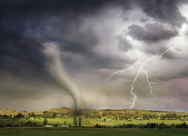
The Met is forecasting dramatic thunderstorms for Thursday!
You’ll probably start to notice the difference this evening as the cooler temperatures set in.
As tomorrow begins it will be a cloudier and noticeably colder day with some fog patches in the east and some rain in the north and west.
The far southwest will experience some heavier rain later in the day, along with strong winds.
The Met Office said “unsettled conditions are expected on Thursday with showery rain, possibly heavy and thundery, moving east across parts of England and Wales”.
Friday will be mostly dry and bright, however, wet and windy weather will arrive on Saturday followed by heavy showers on Sunday.
Some areas of the country have enjoyed temperatures of 20 over the past few days… as a result of climate change.
The Met Office added: “Climate change has made what would have already been an extremely warm event even warmer and is probably responsible for tipping it over the 20C threshold.”
After the thunder comes a chance of snow.

Read more: Brits obsessed with 20C weather as we enjoy hottest February day EVER
This could fall over higher ground from next week.

Read more: Gemma Collins and boyfriend Arg ‘split over embarrassing social media post’
Going into next week, the Met Office said “spells of wet and windy weather are likely to continue, interspersed with some drier, brighter periods”.
The Met Office said “further strong winds and gales are likely in exposed areas, particularly in the northwest”.
Temperatures are expected to be around normal for the start of spring.
Do you want more snow? Leave us a comment on our Facebook page @EntertainmentDailyFix and let us know what you think.
